Now that we’ve learnt about the structure of the earth we’re going to focus on the highs and lows of crust. The Earths crust is constantly moving on top of the mantle on what we call “Tectonic Plates”.
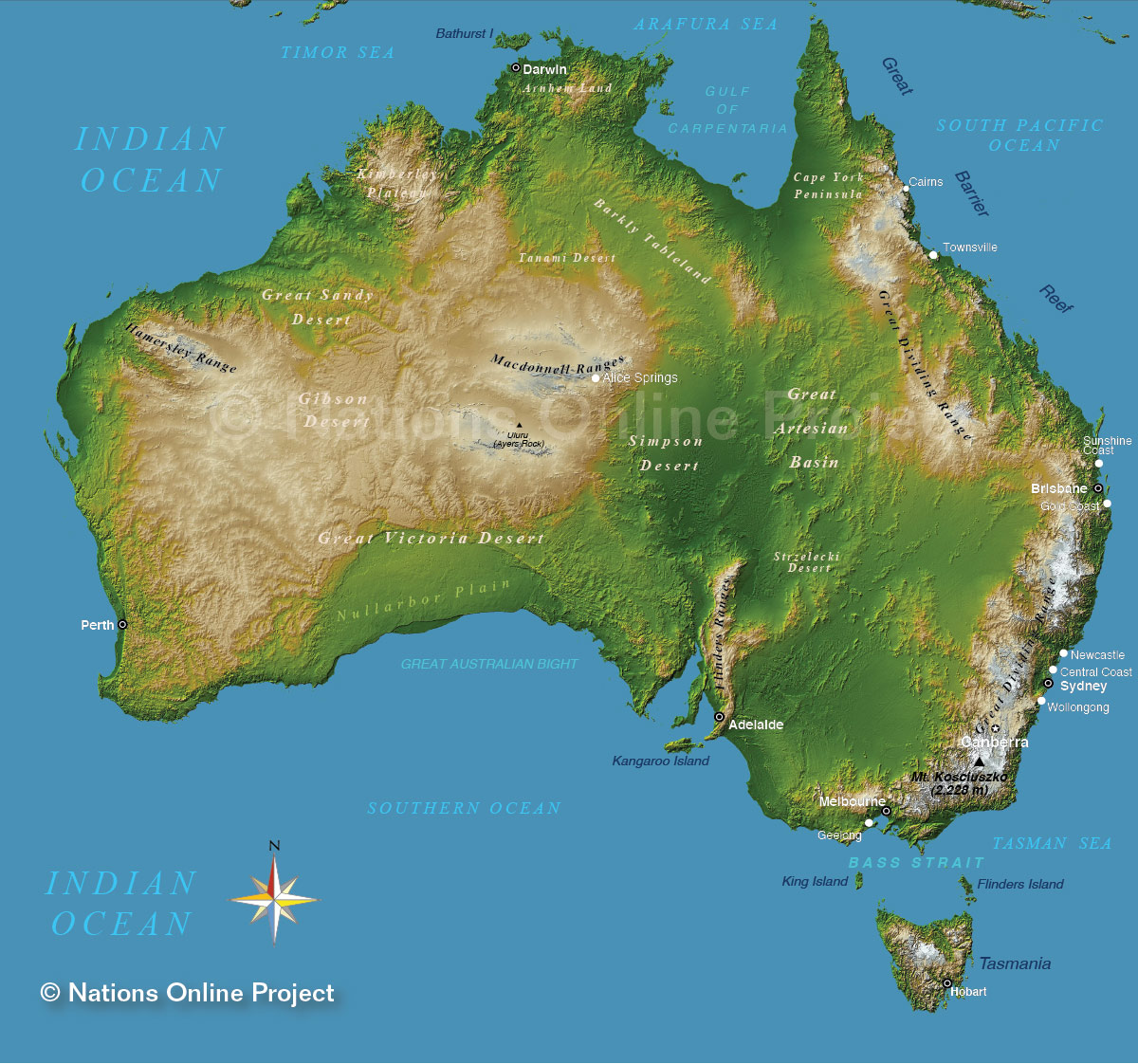
Australia’s eastern coast line is closely bordered by “The Great Dividing Range” which stretches 3,500km from the Northern tip of QLD, through NSW and finishes in VIC. The Great Dividing Range forms a watershed for the eastern land of Australia. Rivers on the east side flow from the highlands toward the Pacific Ocean and on the west side they flow toward the central lowlands.

The sections on this map that are lighter brown indicate the high lands or ranges of the Australian landscape. The lower points are represented via the darkening shades of green. In reality though the inland of Australia is mostly desert sand in colour.

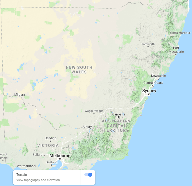
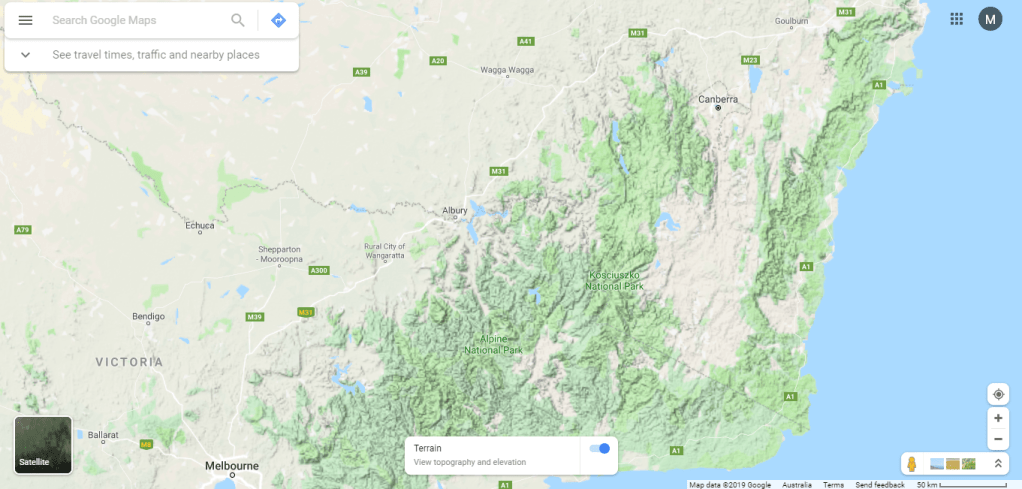

The great dividing range is not just one long mountain with a continuous top, instead it has a mix of peaks with valleys between them. In some places the terrain is relatively flat, consisting of very low hills. Typically the highlands range from 300 to 1,600 metres in height. Albury is a lowly 165 m above sea level. The table below shows the continuous decent from Mt Kosciuszuko towards the end of the river in Goolwa, South Australia.
| Town | Elevation above sea level |
| Mt Kosciuszko | 2,228 m |
| Albury/Wodonga | 165 m |
| Mulwala/Yarrawonga | 128 m |
| Moama/Echuca | 96 m |
| Swan Hill | 70 m |
| Mildura | 51 m |
| Renmark | 31 m |
| Goolwa | 1 m |
| Adelaide | 50 m |
Cooks river, Sydney (not the Murray)
Erosion
There are 3 different ways in which a mountain, landscape, river or cave is shaped via erosion:
- Chemical: eg acids
- Physical: ice wedging, onion skin weathering, sand blasting, waves, flowing water etc
- Biological: lichens, tree roots etc
The best place to observe the extremes of how erosion works is in a cave where a mix of all 3 have taken place and continue to do so. For the remainder of this lesson we’ll be watching “David Attenborough, Caves”.
Try to pay attention as to how the mechanisms of erosion works.
Thermal Expansion and Contraction Practical
What is onion skin weathering? Why do rocks have different layers? How does that effect erosion? Today we will seek to resolve all of these questions by heating rocks to 1,500°C and then dunking them into water!
As the rock is heated it expands at all of it’s different layers from the outside in. So when it is cooled, the outside layers shrink down from the outside in. Try to draw a diagram which shows this expansion and contraction.
Do you think the contraction could lead to anything happening?
There are 2 different types of rocks that we will be trying today, sedimentary and igneous rocks. We’ll learn about these more next week.
- Get safety glasses, Bunsen burner, metal cup, tongs and find a bench.
- There will be a few different rock samples for you to try so start with one in your group.
- Light the rocks up with fire and keep heating for a few minutes.
- Carefully place the rock into the cooler water and see what happens.
Record what you have observed under your diagram.
Was your diagram correct? If not go back and correct it.
